

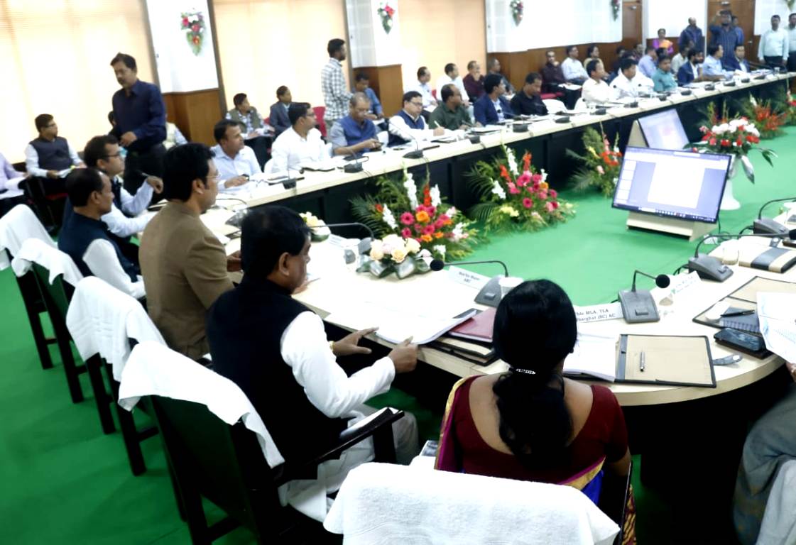
Agartala: Feb 18: On Tuesday, a significant initiative was launched to improve urban land management in Agartala. The National Geo-spatial Knowledge-Based Urban Housing Land Survey (Naksha), a collaborative effort between the Land Resources Department of the Ministry of Rural Development, the State Revenue Department, and the Agartala Municipal Corporation, was inaugurated at the Municipal Corporation conference hall. This project aims to formally identify and document the land ownership of various government institutions, including every house within the corporation area.
The survey will be conducted using advanced aerial drone technology, allowing for precise mapping and identification of urban land. The event was attended by Deputy Mayor Ram Prasad Pal and Mayor Deepak Majumdar as chief guests, along with MLA Minarani Sarkar as a special guest, Municipal Commissioner Shailesh Kumar Yadav, and municipal corporators.
Scheduled to be completed within a year, the Naksha survey will create up-to-date and accurate land records for all citizens in the area. The expected outcomes of this initiative are far-reaching. With clear and accurate land identification, the survey will reduce land disputes and simplify property transactions. It will also ease access to credit and encourage real estate and infrastructure investments by enhancing transparency and reducing the risk of fraud and corruption. Moreover, the improved urban planning enabled by the survey will help local authorities manage resources more effectively, ensuring better quality of life for residents.
The Naksha project is seen as a crucial step toward modernizing land records and governance in Agartala, addressing long-standing challenges, and fostering growth in the city’s real estate and infrastructure sectors.


