

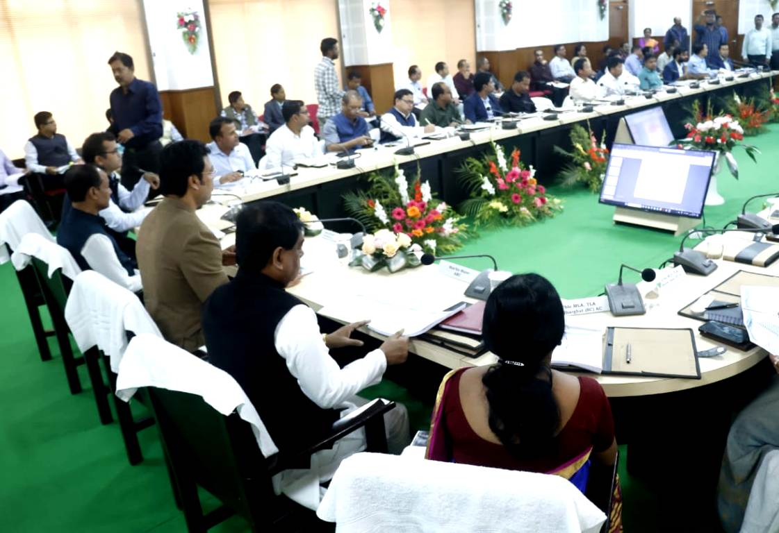
Agartala: Feb 18: The Land Resources Department of the Ministry of Rural Development, Government of India, the State Revenue Department, and the Agartala Municipal Corporation have jointly launched the National Geo-spatial Knowledge-Based Urban Housing Land Survey (Naksha) on Tuesday at the Agartala Municipal Corporation conference hall. This initiative aims to formally identify the land of various government institutions, including each house in the corporation area, through an aerial survey conducted by drones.
The project was inaugurated by Deputy Mayor Ram Prasad Pal and Mayor Deepak Majumdar as the chief guests, with MLA Minarani Sarkar as the special guest, and Municipal Commissioner Shailesh Kumar Yadav along with the municipal corporators in attendance. The survey work is expected to be completed within the next year.
Upon completion of the survey, all citizens living in the area will have accurate and up-to-date land records. This will reduce land disputes, simplify property transactions and credit access, improve urban planning, increase transparency, and prevent fraud and corruption. Additionally, it will encourage investment in real estate and infrastructure development.


